Hunza Valley Trip Plan — 5-Day Itinerary
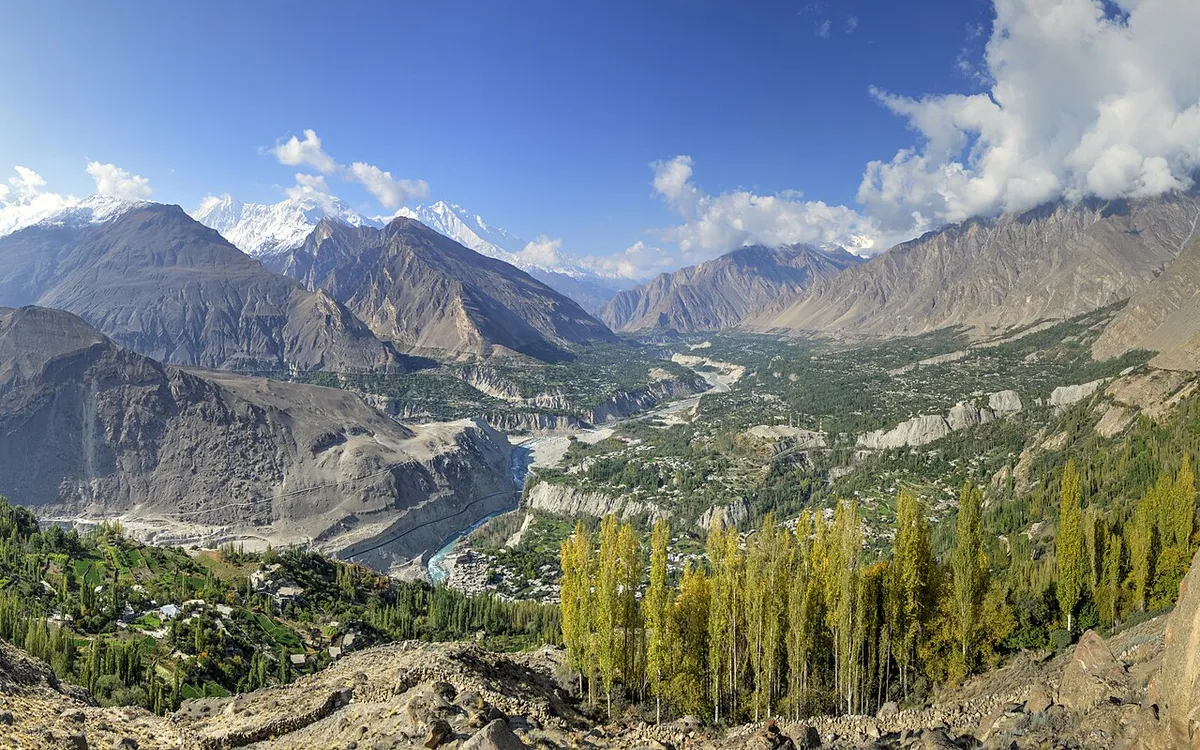 Gilgit-Baltistan
🗓️ Best season: April to October — blossom in spring, golden colours in October
Rakaposhi views, Baltit Fort, Attabad Lake and the Karakoram Highway.
🌡️ Live weather: loading…
Route: Islamabad to Gilgit by air (about 1 hour), then 2–3 hours by road to Karimabad. By road: Islamabad – Naran – Babusar – Gilgit – Hunza.
- Day 1: Reach Karimabad. Baltit Fort and the old town lanes.
- Day 2: Altit Fort and the royal garden; sunset at Eagle’s Nest (Duikar).
- Day 3: Attabad Lake boat ride, Passu Cones and the Hussaini suspension bridge.
- Day 4: Khunjerab Pass (China border) — a full-day return drive.
- Day 5: Drive back to Gilgit / return journey.
What to carry & what you need:
- Warm layers, gloves and a wool cap — Khunjerab (4,693 m) is freezing even in July and snow is possible
- Original CNIC (Pakistanis) or passport (visitors) — identity is checked at posts on the way to the border
- Cash in rupees — ATMs in Hunza and Gilgit often run dry, and small guesthouses and eateries rarely take cards
- Snacks, water and a full tank — the last fuel is at Sost, and there are no shops or food at the top
- An SCOM SIM and offline maps downloaded — other networks fade in the valleys
- A power bank — electricity in Hunza can be inconsistent
- At the pass, walk slowly and keep the stop short — anyone with heart or breathing problems should skip it
Note: The Naran–Babusar road is open roughly June to October; outside those months use the Karakoram Highway via Besham. Keep a warm layer — evenings are cold even in summer.
Weather on this page is live at the moment it loads — always check it again on the day you travel, and follow official road and weather advisories. Photo: Alllexxxis — via Wikimedia Commons (CC BY-SA).